Vischer Ferry Nature & Historic Preserve
Welcome to Vischer Ferry Nature & Historic Preserve
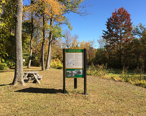
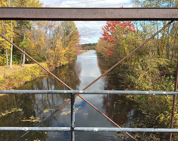
Curving along the shoreline of the Mohawk River and forming the southern boundary of the Town of Clifton Park, the Vischer Ferry Nature & Historic Preserve, comprised of the lands and waters between Riverview Road and the Mohawk River, is a natural area and historic place of more than 700 acres of wetlands, floodplain, and amazing bird and amphibian habitat. This linear greenway includes national historic treasures of two Erie Canal towpath trails, Historic Double Lock 19, Clute’s Dry Dock, Forts Ferry, and an abundance of nature trails. There is a small picnic area by the river. The site is a Bird Conservation Area as designated by the NYS Department of Environmental Conservation and an Important Bird Area recognized by Audubon New York, with more than 200 bird species being observed. The preserve is primarily owned by the New York State Canal Corporation, and managed by the Town of Clifton Park.
Here is a QR link to a 2018 Trails Map by Chris Nafis through Google mapping: 
Activities
Directions / Map
New 2018 TRAILS MAP: Trails Map through Google Mapping by Chris Nafis, volunteer, May 2018 edition
Preserve Entrances:
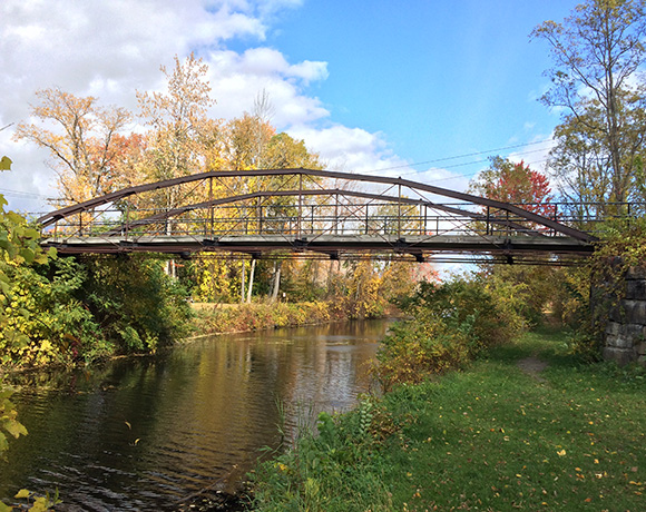
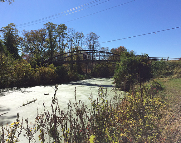
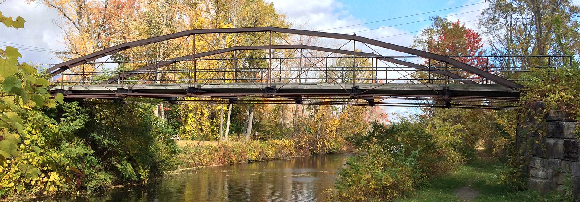
- Whipple Bridge Entrance: this is the marquee entrance with the historic farmers’ bridge visible from Riverview Road. A small parking pull-off area is available directly across from the intersection of Riverview Road and VanVranken Road. Parking lot and bike rack available.
- Clute’s Dry Dock Entrance, is about a mile east of the Whipple Bridge Entrance, on the south side of Riverview Road. Parking lot. Kayak and canoe launch from a dock situated in the historic dry dock area. Future trail enhancements are planned for this site.
- Ferry Drive Gateway Entrance: from Riverview Road, bear west of the Vischer Ferry Fire Station, and take a left onto Ferry Drive. At the end of Ferry Drive, one can access the Towpath Connector Trail, view the Mohawk River, and in the future, launch a kayak or canoe.
- Sugar Hill Road Extension/Vischer Ferry Power Dam Entrance: directly across from the intersection of Riverview Road and Sugar Hill Road, bear south to the Mohawk River Scenic Overlook at the Vischer Ferry Hydroelectric Dam. There is a parking lot. The Towpath Trail to Ferry Drive bears to the left as you face the Power Dam in the Mohawk River.
Directions:
Photos
Related Information
- NEW 2018: Google Mapping of Trail Routes at Vischer Ferry Nature & Historic Preserve: Trails Map through Google Mapping provided by Chris Nafis, volunteer
- Vischer Ferry Trail Map: VischerFerry Trail Map
- Invasive Plants at VFNHP:Invasive Plants Observed at Vischer Ferry Nature and Historic Preserve-plant ID and control methods
Latest news from Vischer Ferry Nature & Historic Preserve
To see all news items, click on News.


